


Swift
Upload your data in real-time with lightning speed, streamlining your workflow and eliminating unnecessary delays.
Fortified
Keep your data secure with our state-of-the-art encryption, ensuring the safety and privacy of your information at every step.
Effortless
Uploading data has never been easier. Our intuitive interface and seamless integration make the process smooth and hassle-free.
Seamless
Our cutting-edge technology allows for a seamless data upload process, freeing you from the burden of time-consuming and tedious tasks.
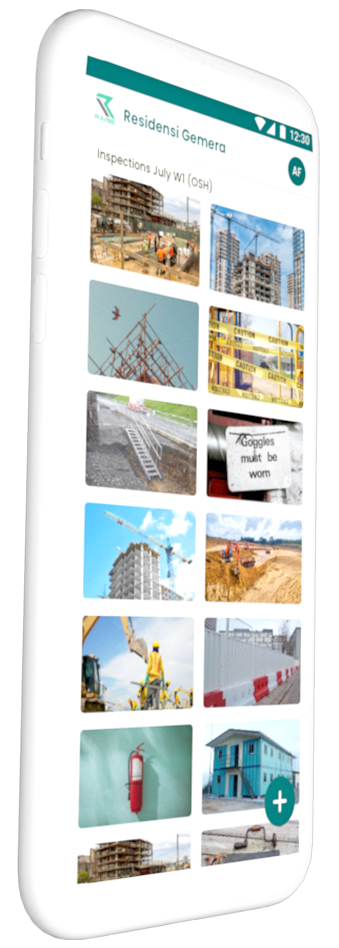
Download geoRÄISE Sync
As a registered geoRÄISE user, you or your on-site team can easily download our Sync app, log in, and start providing real-time visual updates for your managed assets. With our user-friendly interface and powerful features, you'll hit the ground running in no time!
