01
Select Your Asset
Choose the asset you want to enrich with geospatial information and provide basic information.

02
Select Your Raw Data
Select the raw dataset from your drone mapping mission and specify your mapping boundary.

03
Select Your Output Type
Select your desired 2D/3D geospatial output and give a name to the layer for the selected output.

04
Confirm and Upload
Verify the task details on the summary page and click confirm to start the upload.

05
Sit Back and Stay Informed
Once the processing is complete, you will receive an email notification and the output will be updated on your asset page.
See All
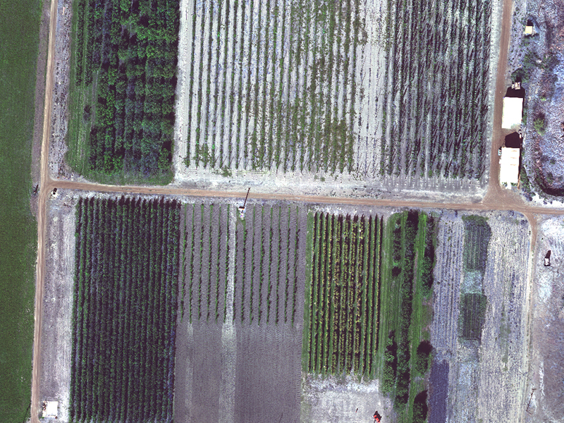
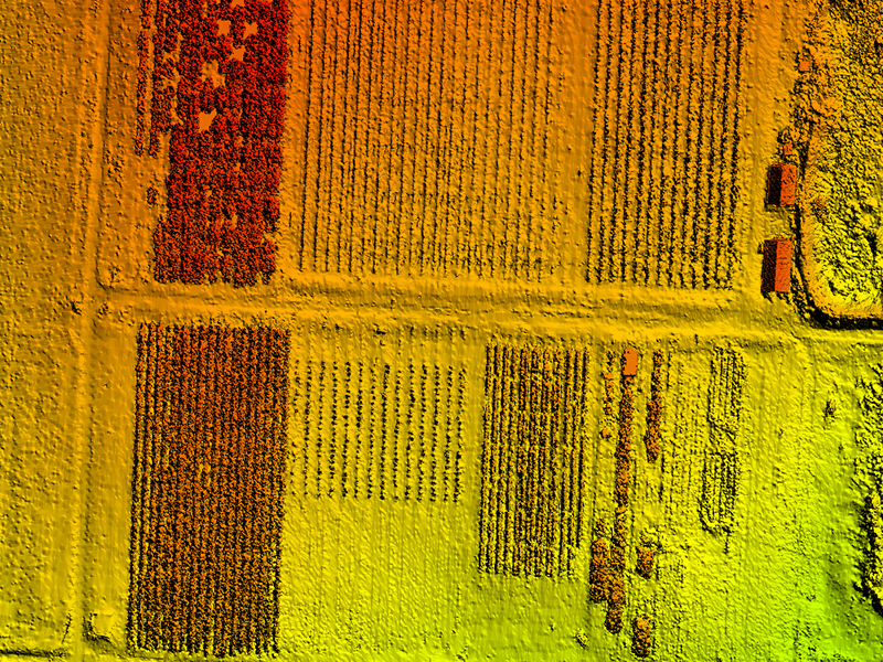
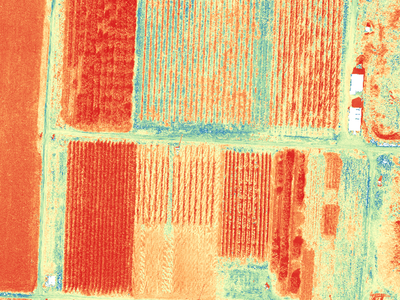
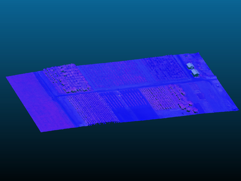
Agriculture4
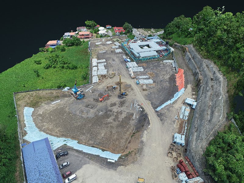
Construction3
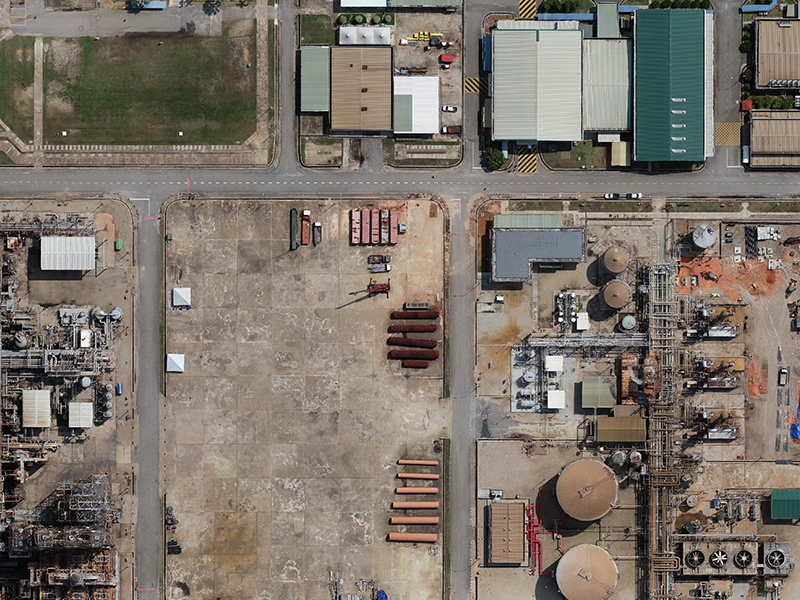
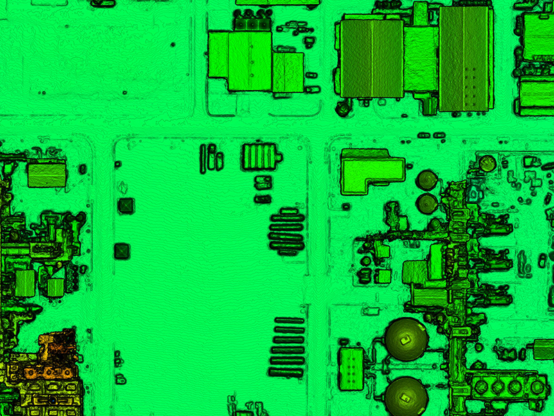
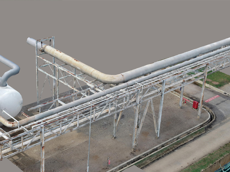
Energy3
Forestry3